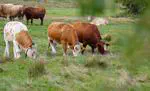
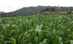
This interactive StoryMap presents the research which examined how combined satellite remote sensing, spatial data analysis and modelling can contribute to better understanding and monitoring smallholder agricultural systems in Africa, specifically in Nigeria. Selected publications of the PhD research are linked within the StoryMap.